Services / 05
Aerial Drone Surveys
High-resolution inspection of roofs, façades and hard-to-reach areas, without scaffolding, cherry pickers or working at height.

Overview
Accurate data
from above
Our Drone Survey service provides a safe, efficient, and highly detailed method of capturing accurate visual and spatial data from above, to support building inspections, condition surveys and site assessments.
Drone surveys are particularly effective for inspecting roofs, tall structures, and hard-to-reach areas — eliminating the need for costly access equipment or working at height.
Every flight is carried out by trained and certified operators in compliance with CAA regulations, as a standalone inspection or as part of a wider building survey. Because our building surveyors interpret the imagery, you get findings and recommendations, not just pictures.

- No scaffoldNo access equipment or working at height
- 4K and thermalHigh-resolution and infrared capture
- Surveyor-ledImagery interpreted by building surveyors
What we capture
Every roof,
every elevation
A standalone aerial inspection, or one part of a wider building survey.
Start an enquiry- 01
Roof surveys
Pitched, flat and complex roofs inspected at close range: coverings, flashings, gutters, roof lights and plant, with defects photographed and located.
- 02
Façades and high level
Elevations, parapets, chimneys and high-level details recorded without scaffolding, hoists or cherry pickers.
- 03
Thermal imaging
Infrared capture to help find heat loss, moisture and water ingress before they are visible to the eye.
- 04
Mapping and 3D models
Measured surveys, orthomosaic plans and 3D models of buildings and sites.
- 05
Progress monitoring
Repeat flights that document construction progress for project monitoring and reporting.
- 06
Photography and 4K video
High-resolution aerial photography and video for reports, asset records, marketing and planning.
From the air
A view no ladder
can reach
Why use a drone
Traditional access
or a drone
For most roofs and high-level inspections, a drone gives a fuller picture with less cost, risk and disruption. Where something needs a hands-on check, we will say so.
| Consideration | Traditional access | Drone survey |
|---|---|---|
| Access equipment | Scaffold, cherry picker or roof access | None needed |
| Working at height | Surveyor on the roof | Pilot on the ground |
| Disruption | Exclusion zones and set-up time | Little or none |
| Coverage | Areas reachable safely on foot | Every roof plane and elevation |
| Fragile roofs | Risk of damage from foot traffic | Nothing touches the roof |
| Record | Handheld photographs | Geotagged images and video that can be repeated over time |
How it works
From brief
to report
A straightforward process, planned around the building and the people using it.
-
Before the flight
01 Scope
Tell us about the building or site and what you need to know. We agree the scope, the outputs and the timing.
-
Before the flight
02 Plan
Flight planning, a site risk assessment and airspace checks in line with CAA rules, with any permissions arranged in advance.
-
On site
03 Fly and capture
Trained, certified operators fly planned routes, capturing high-resolution stills, 4K video and thermal imagery as required.
-
After the flight
04 Analyse
Our building surveyors review the imagery, identify and locate defects, and prioritise what needs attention.
-
After the flight
05 Report
An illustrated report with recommendations, plus the images, video and any orthomosaics or 3D models in the brief.
Gallery
Seen
from above
Drag or scroll sideways to see more.
-
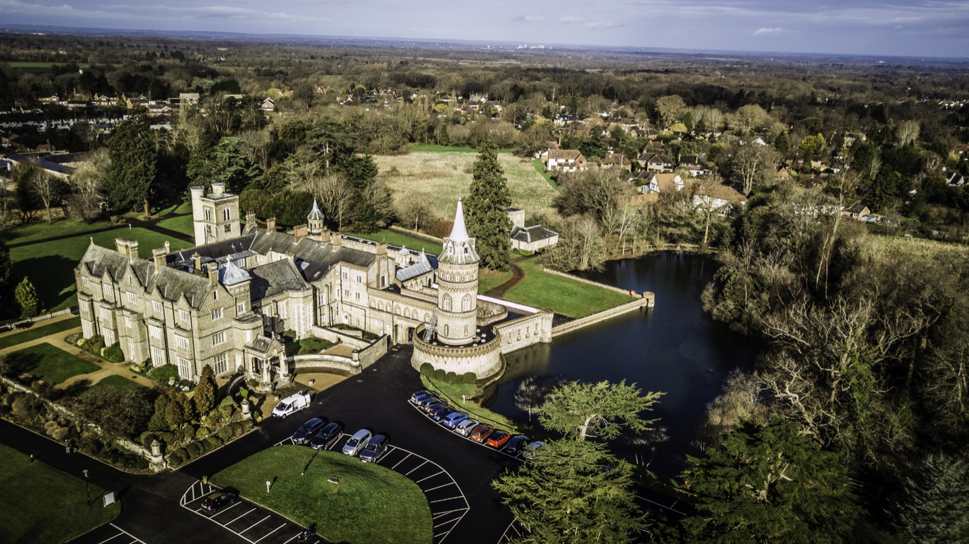
01 · Country estate -
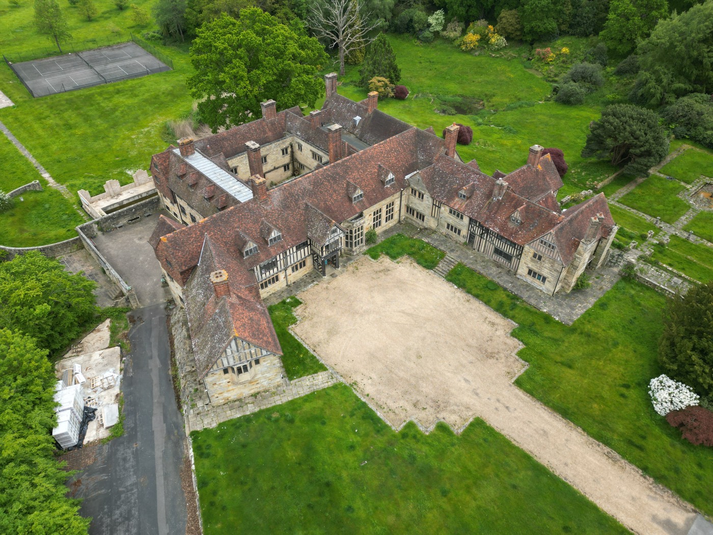
02 · Manor house and courtyard -
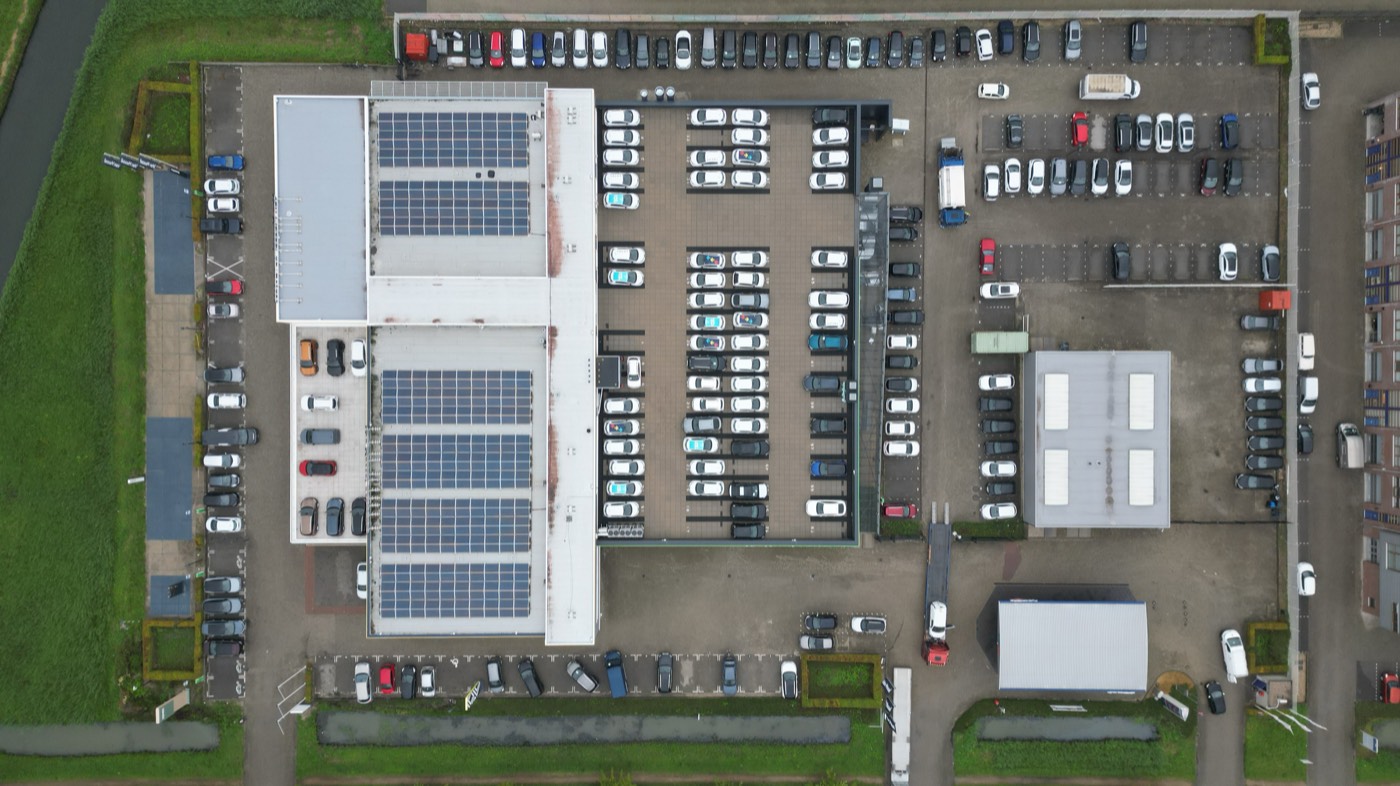
03 · Warehouse roof and solar array -
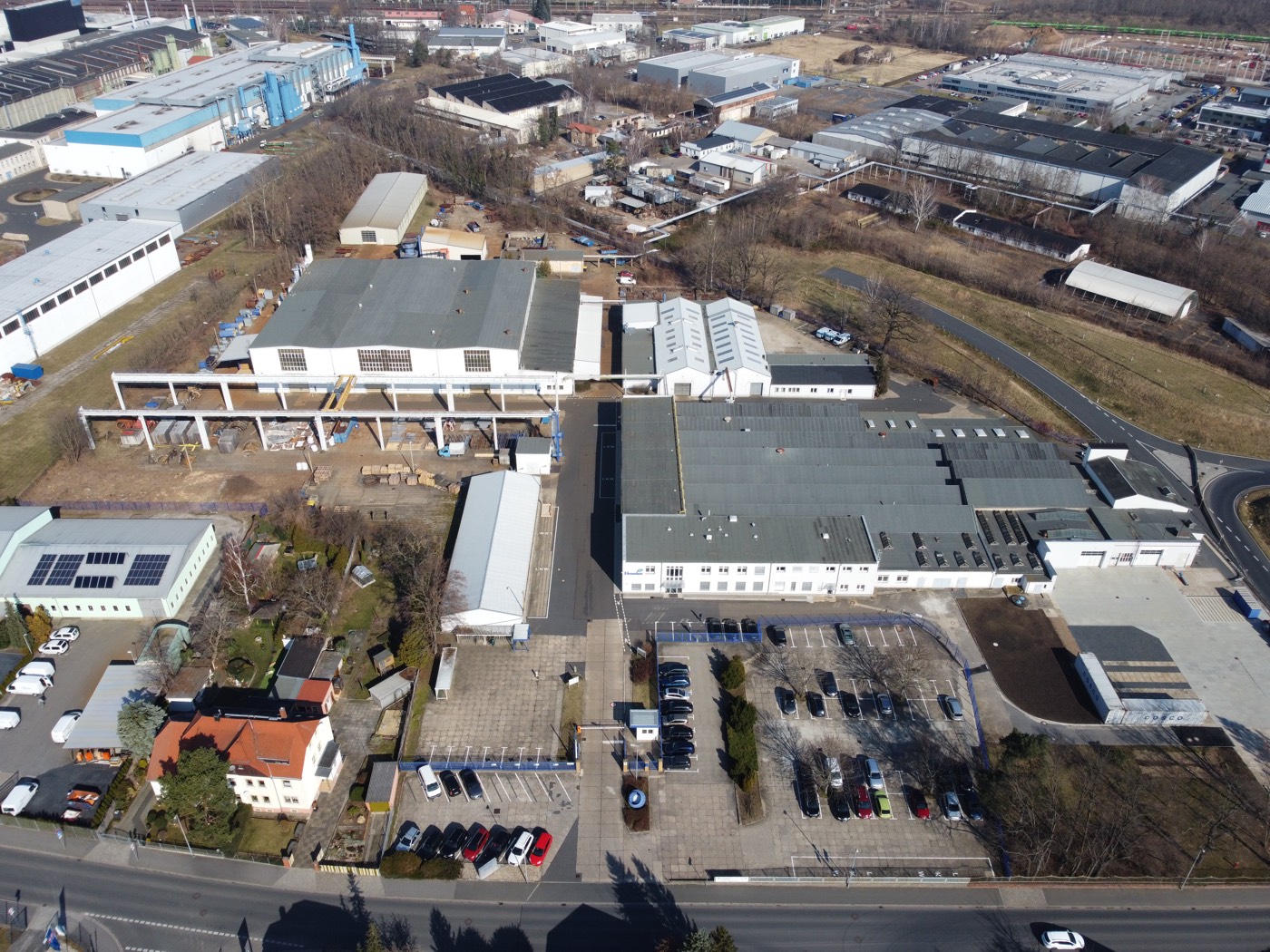
04 · Industrial estate -
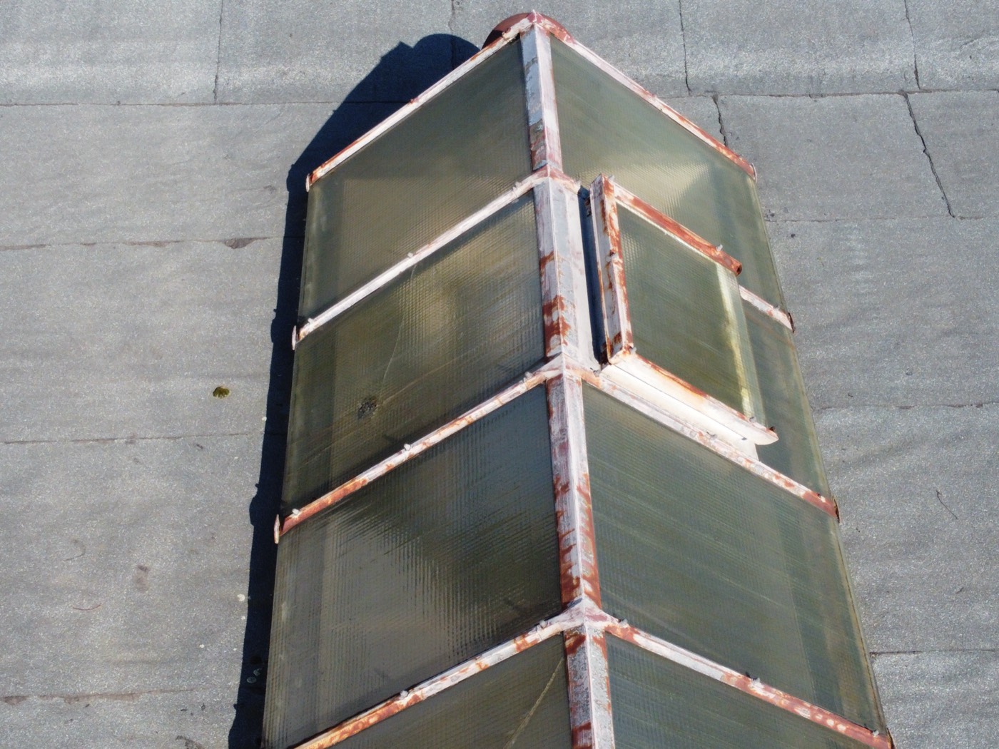
05 · Roof lights -
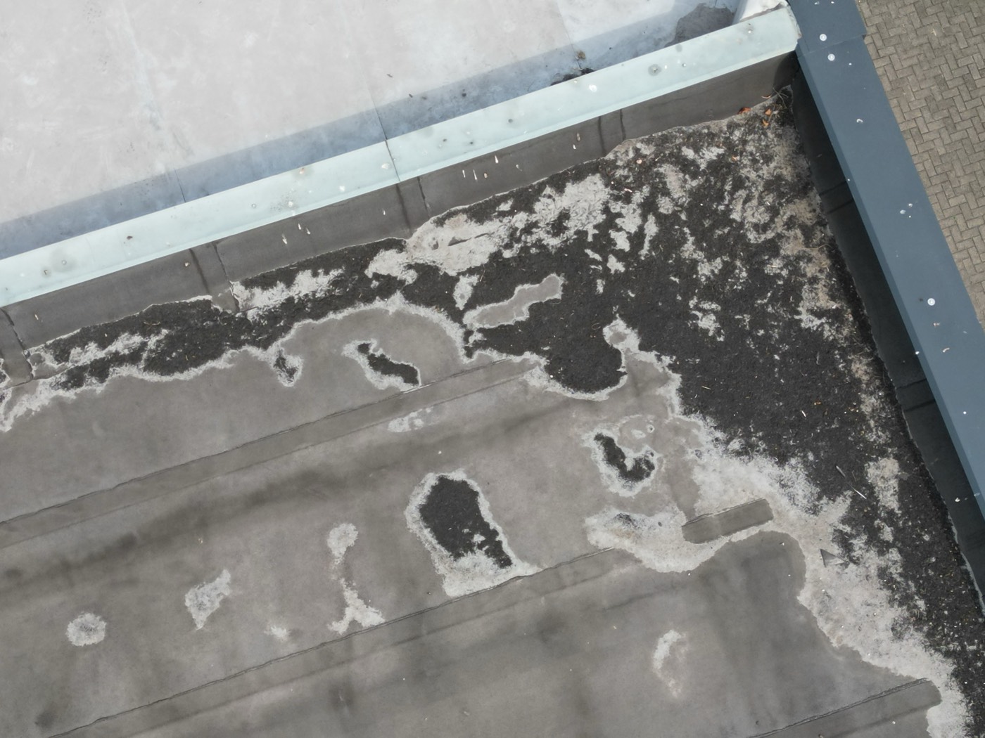
06 · Flat roof -
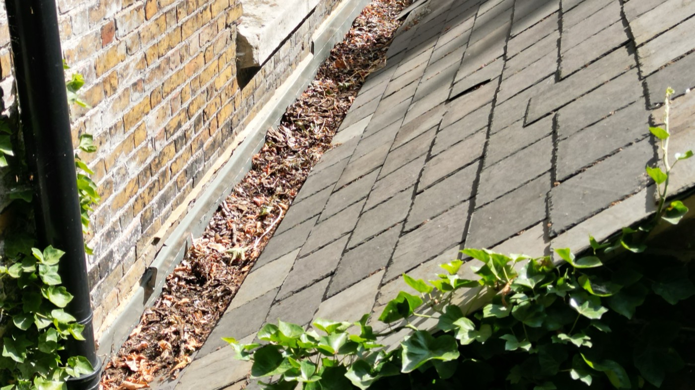
07 · Gutter and slates at close range


FAQ
Common
questions
Not sure whether a drone survey suits your building? Our directors are happy to advise.
Speak to a directorDo you need permission to fly?
Every flight is planned in line with Civil Aviation Authority rules, with airspace and site checks beforehand. Some locations need additional permissions, which we arrange before we fly.
Is a drone survey as good as going onto the roof?
For most roofs, close-range imagery shows coverings, flashings, gutters and roof lights in fine detail, without the risks of working at height or walking on fragile surfaces. Where something needs a hands-on check, we will say so.
Can you carry out thermal surveys?
Yes. Thermal imaging helps locate heat loss, moisture and water ingress. Results depend on the weather and time of day, so we plan thermal flights for suitable conditions.
What do I receive?
An illustrated report with defects located and prioritised, together with the images and video. Measured surveys, orthomosaic plans and 3D models are provided where they form part of the brief.
Can surveys be repeated to track change?
Yes. Repeat flights allow condition or construction progress to be compared over time, which is useful for planned maintenance and project monitoring.
Will the building need to close?
Rarely. Most surveys are carried out with little or no disruption to the people using the building.

Get in touch
Need a view
from above?
Interested? Get in touch, we’d love to hear about your project. We will get back to you as soon as we can.